
大保川 topographic map
Interactive map
Click on the map to display elevation.
About this map
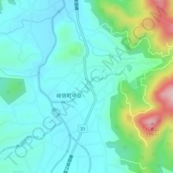
Name: 大保川 topographic map, elevation, terrain.
Location: 大保川, 五島市, 長崎県, 日本 (32.68571 128.72809 32.69049 128.74134)
Average elevation: 111 m
Minimum elevation: 49 m
Maximum elevation: 325 m
Other topographic maps
Click on a map to view its topography, its elevation and its terrain.