
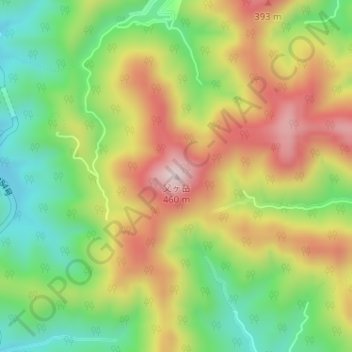
父ヶ岳 topographic map
Interactive map
Click on the map to display elevation.
About this map
Name: 父ヶ岳 topographic map, elevation, terrain.
Location: 父ヶ岳, 五島市, 長崎県, 853-0508, 日本 (32.69817 128.68098 32.69827 128.68108)
Average elevation: 198 m
Minimum elevation: 6 m
Maximum elevation: 425 m
Other topographic maps
Click on a map to view its topography, its elevation and its terrain.