
奈留島 topographic map
Interactive map
Click on the map to display elevation.
About this map
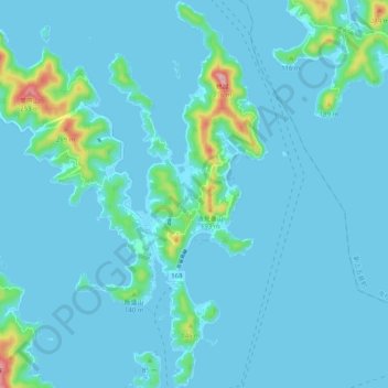
Name: 奈留島 topographic map, elevation, terrain.
Location: 奈留島, 五島市, 長崎県, 日本 (32.79958 128.87264 32.88468 128.96472)
Average elevation: 22 m
Minimum elevation: -1 m
Maximum elevation: 259 m
Other topographic maps
Click on a map to view its topography, its elevation and its terrain.