
クロキ島 topographic map
Interactive map
Click on the map to display elevation.
About this map
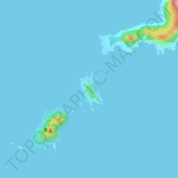
Name: クロキ島 topographic map, elevation, terrain.
Location: クロキ島, 五島市, 長崎県, 日本 (32.03047 128.37679 32.03552 128.38099)
Average elevation: 5 m
Minimum elevation: 0 m
Maximum elevation: 185 m
Other topographic maps
Click on a map to view its topography, its elevation and its terrain.