
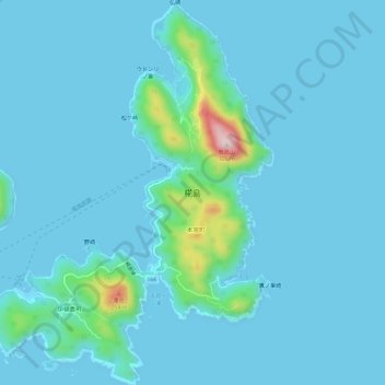
椛島 topographic map
Interactive map
Click on the map to display elevation.
About this map
Name: 椛島 topographic map, elevation, terrain.
Location: 椛島, 五島市, 長崎県, 日本 (32.74183 128.96266 32.79144 129.00765)
Average elevation: 25 m
Minimum elevation: -1 m
Maximum elevation: 300 m
Other topographic maps
Click on a map to view its topography, its elevation and its terrain.