
ツブラ島 topographic map
Interactive map
Click on the map to display elevation.
About this map
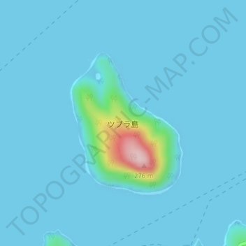
Name: ツブラ島 topographic map, elevation, terrain.
Location: ツブラ島, 五島市, 長崎県, 日本 (32.76142 128.95336 32.77708 128.96809)
Average elevation: 16 m
Minimum elevation: 0 m
Maximum elevation: 257 m
Other topographic maps
Click on a map to view its topography, its elevation and its terrain.