
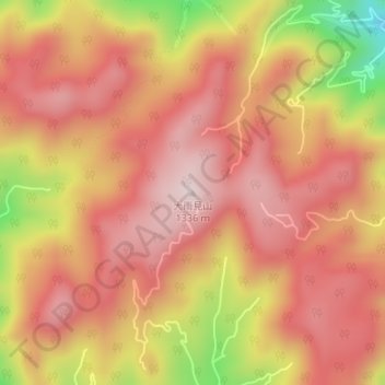
大雨見山 topographic map
Interactive map
Click on the map to display elevation.
About this map
Name: 大雨見山 topographic map, elevation, terrain.
Location: 大雨見山, 高山市, 岐阜県, 日本 (36.25338 137.29843 36.25348 137.29853)
Average elevation: 1,171 m
Minimum elevation: 872 m
Maximum elevation: 1,320 m
Other topographic maps
Click on a map to view its topography, its elevation and its terrain.