
天狗山 topographic map
Interactive map
Click on the map to display elevation.
About this map
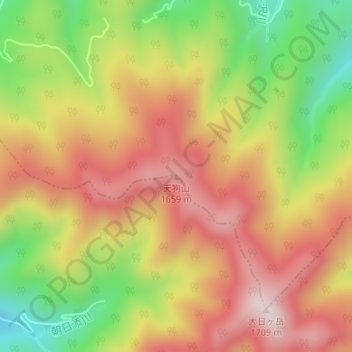
Name: 天狗山 topographic map, elevation, terrain.
Location: 天狗山, 高山市, 岐阜県, 日本 (36.01156 136.82924 36.01166 136.82934)
Average elevation: 1,458 m
Minimum elevation: 1,179 m
Maximum elevation: 1,689 m
Other topographic maps
Click on a map to view its topography, its elevation and its terrain.