
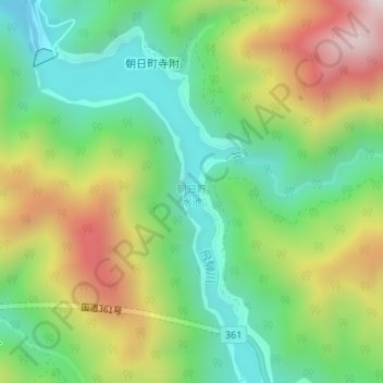
朝日貯水池 topographic map
Interactive map
Click on the map to display elevation.
About this map
Name: 朝日貯水池 topographic map, elevation, terrain.
Location: 朝日貯水池, 高山市, 岐阜県, 日本 (36.05615 137.41134 36.07826 137.43223)
Average elevation: 1,082 m
Minimum elevation: 803 m
Maximum elevation: 1,531 m
Other topographic maps
Click on a map to view its topography, its elevation and its terrain.