
秋神川 topographic map
Interactive map
Click on the map to display elevation.
About this map
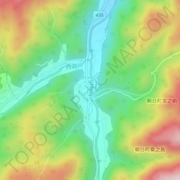
Name: 秋神川 topographic map, elevation, terrain.
Location: 秋神川, 高山市, 岐阜県, 日本 (36.01270 137.39018 36.01538 137.39054)
Average elevation: 1,076 m
Minimum elevation: 899 m
Maximum elevation: 1,343 m
Other topographic maps
Click on a map to view its topography, its elevation and its terrain.