
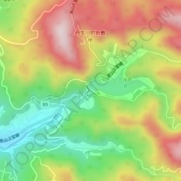
丹生川ダム topographic map
Interactive map
Click on the map to display elevation.
About this map
Name: 丹生川ダム topographic map, elevation, terrain.
Location: 丹生川ダム, 高山市, 岐阜県, 日本 (36.21586 137.36955 36.21759 137.37209)
Average elevation: 937 m
Minimum elevation: 740 m
Maximum elevation: 1,151 m
Other topographic maps
Click on a map to view its topography, its elevation and its terrain.