
犀川ダム topographic map
Interactive map
Click on the map to display elevation.
About this map
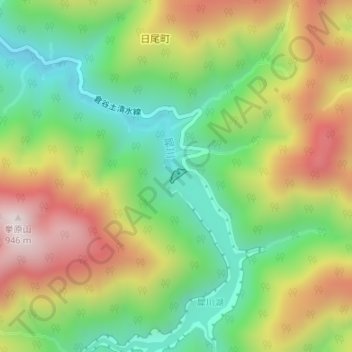
Name: 犀川ダム topographic map, elevation, terrain.
Location: 犀川ダム, 金沢市, 石川県, 日本 (36.43018 136.74574 36.43123 136.74730)
Average elevation: 539 m
Minimum elevation: 245 m
Maximum elevation: 924 m
Other topographic maps
Click on a map to view its topography, its elevation and its terrain.