
入江第2児童公園 topographic map
Interactive map
Click on the map to display elevation.
About this map
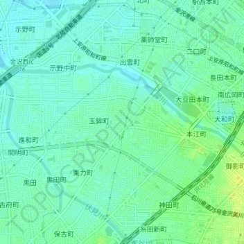
Name: 入江第2児童公園 topographic map, elevation, terrain.
Location: 入江第2児童公園, 玉鉾三丁目, 金沢市, 石川県, 中部地方, 921-8011, 日本 (36.56886 136.62480 36.56896 136.62490)
Average elevation: 10 m
Minimum elevation: 3 m
Maximum elevation: 20 m
Other topographic maps
Click on a map to view its topography, its elevation and its terrain.