
打木町西小公園 topographic map
Interactive map
Click on the map to display elevation.
About this map
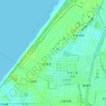
Name: 打木町西小公園 topographic map, elevation, terrain.
Location: 打木町西小公園, 打木町, 金沢市, 石川県, 中部地方, 920-0376, 日本 (36.57036 136.56879 36.57046 136.56889)
Average elevation: 5 m
Minimum elevation: 0 m
Maximum elevation: 13 m
Other topographic maps
Click on a map to view its topography, its elevation and its terrain.