
内川ダム topographic map
Interactive map
Click on the map to display elevation.
About this map
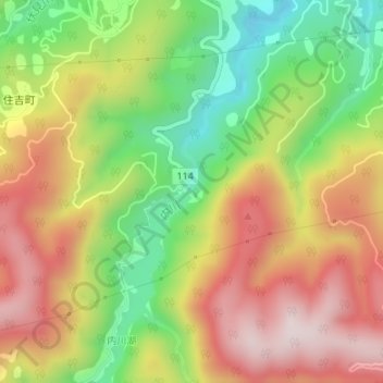
Name: 内川ダム topographic map, elevation, terrain.
Location: 内川ダム, 金沢市, 石川県, 920-2112, 日本 (36.47321 136.67115 36.47331 136.67125)
Average elevation: 360 m
Minimum elevation: 115 m
Maximum elevation: 599 m
Other topographic maps
Click on a map to view its topography, its elevation and its terrain.