
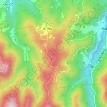
国見山 topographic map
Interactive map
Click on the map to display elevation.
About this map
Name: 国見山 topographic map, elevation, terrain.
Location: 国見山, 金沢市, 石川県, 9201322, 日本 (36.46596 136.70750 36.46606 136.70760)
Average elevation: 367 m
Minimum elevation: 159 m
Maximum elevation: 619 m
Other topographic maps
Click on a map to view its topography, its elevation and its terrain.