
見越山 topographic map
Interactive map
Click on the map to display elevation.
About this map
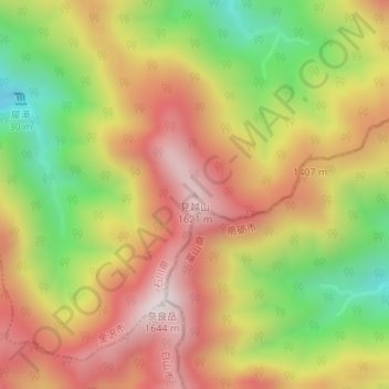
Name: 見越山 topographic map, elevation, terrain.
Location: 見越山, 金沢市, 石川県, 日本 (36.34963 136.78695 36.34973 136.78705)
Average elevation: 1,277 m
Minimum elevation: 880 m
Maximum elevation: 1,616 m
見越山(みこしやま)は、石川県金沢市と富山県南砺市との県境にある標高1,621mの両白山地の山。金沢市第2の高峰である。
Other topographic maps
Click on a map to view its topography, its elevation and its terrain.