
雨畑ダム topographic map
Interactive map
Click on the map to display elevation.
About this map
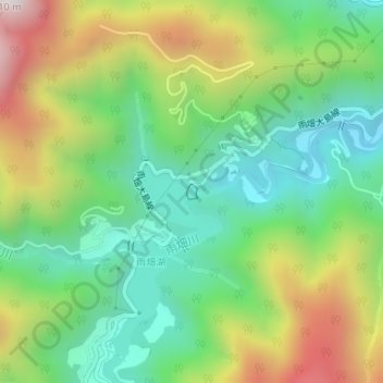
Name: 雨畑ダム topographic map, elevation, terrain.
Location: 雨畑ダム, 早川町, 南巨摩郡, 山梨県, 日本 (35.40810 138.33140 35.40913 138.33226)
Average elevation: 680 m
Minimum elevation: 341 m
Maximum elevation: 1,257 m
Other topographic maps
Click on a map to view its topography, its elevation and its terrain.