
天上小屋山 topographic map
Interactive map
Click on the map to display elevation.
About this map
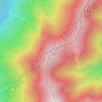
Name: 天上小屋山 topographic map, elevation, terrain.
Location: 天上小屋山, 早川町, 南巨摩郡, 山梨県, 日本 (35.46292 138.24568 35.46302 138.24578)
Average elevation: 1,993 m
Minimum elevation: 1,277 m
Maximum elevation: 2,468 m
Other topographic maps
Click on a map to view its topography, its elevation and its terrain.