
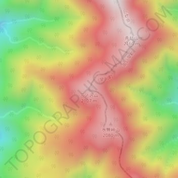
三ノ沢山 topographic map
Interactive map
Click on the map to display elevation.
About this map
Name: 三ノ沢山 topographic map, elevation, terrain.
Location: 三ノ沢山, 早川町, 南巨摩郡, 山梨県, 日本 (35.33163 138.24874 35.33173 138.24884)
Average elevation: 1,785 m
Minimum elevation: 1,274 m
Maximum elevation: 2,158 m
Other topographic maps
Click on a map to view its topography, its elevation and its terrain.