
小河内山 topographic map
Interactive map
Click on the map to display elevation.
About this map
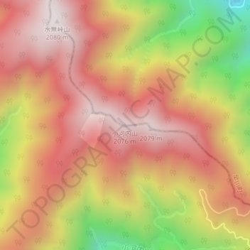
Name: 小河内山 topographic map, elevation, terrain.
Location: 小河内山, 早川町, 南巨摩郡, 山梨県, 日本 (35.31513 138.26175 35.31523 138.26185)
Average elevation: 1,712 m
Minimum elevation: 1,113 m
Maximum elevation: 2,076 m
Other topographic maps
Click on a map to view its topography, its elevation and its terrain.