
白剥山 topographic map
Interactive map
Click on the map to display elevation.
About this map
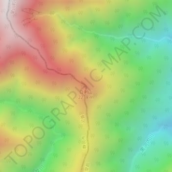
Name: 白剥山 topographic map, elevation, terrain.
Location: 白剥山, 早川町, 南巨摩郡, 山梨県, 409-2702, 日本 (35.55271 138.25956 35.55281 138.25966)
Average elevation: 1,861 m
Minimum elevation: 1,260 m
Maximum elevation: 2,591 m
Other topographic maps
Click on a map to view its topography, its elevation and its terrain.