
生木割山 topographic map
Interactive map
Click on the map to display elevation.
About this map
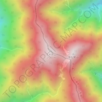
Name: 生木割山 topographic map, elevation, terrain.
Location: 生木割山, 早川町, 南巨摩郡, 山梨県, 日本 (35.44675 138.24913 35.44685 138.24923)
Average elevation: 2,134 m
Minimum elevation: 1,573 m
Maximum elevation: 2,526 m
Other topographic maps
Click on a map to view its topography, its elevation and its terrain.