
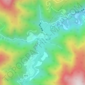
雨畑湖 topographic map
Interactive map
Click on the map to display elevation.
About this map
Name: 雨畑湖 topographic map, elevation, terrain.
Location: 雨畑湖, 早川町, 南巨摩郡, 山梨県, 日本 (35.39684 138.32463 35.41056 138.33439)
Average elevation: 688 m
Minimum elevation: 353 m
Maximum elevation: 1,278 m
Other topographic maps
Click on a map to view its topography, its elevation and its terrain.