
雨池山 topographic map
Interactive map
Click on the map to display elevation.
About this map
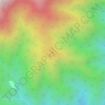
Name: 雨池山 topographic map, elevation, terrain.
Location: 雨池山, 早川町, 南巨摩郡, 山梨県, 日本 (35.60719 138.28669 35.60729 138.28679)
Average elevation: 1,635 m
Minimum elevation: 1,075 m
Maximum elevation: 2,450 m
Other topographic maps
Click on a map to view its topography, its elevation and its terrain.