
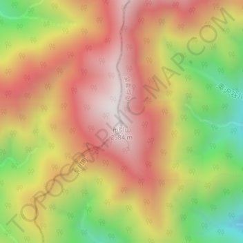
布引山 topographic map
Interactive map
Click on the map to display elevation.
About this map
Name: 布引山 topographic map, elevation, terrain.
Location: 布引山, 早川町, 南巨摩郡, 山梨県, 日本 (35.40844 138.25817 35.40854 138.25827)
Average elevation: 2,103 m
Minimum elevation: 1,502 m
Maximum elevation: 2,564 m
Other topographic maps
Click on a map to view its topography, its elevation and its terrain.