
末武川 topographic map
Interactive map
Click on the map to display elevation.
About this map
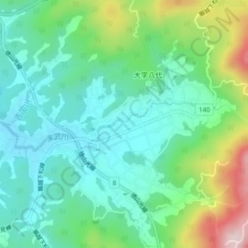
Name: 末武川 topographic map, elevation, terrain.
Location: 末武川, 周南市, 山口県, 日本 (34.08636 131.93704 34.09130 131.94728)
Average elevation: 387 m
Minimum elevation: 297 m
Maximum elevation: 619 m
Other topographic maps
Click on a map to view its topography, its elevation and its terrain.