
下上 topographic map
Interactive map
Click on the map to display elevation.
About this map
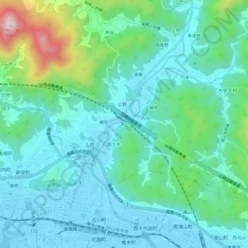
Name: 下上 topographic map, elevation, terrain.
Location: 下上, 周南市, 山口県, 746-0016, 日本 (34.06549 131.76052 34.10549 131.80052)
Average elevation: 100 m
Minimum elevation: -3 m
Maximum elevation: 480 m
Other topographic maps
Click on a map to view its topography, its elevation and its terrain.