
小泉 topographic map
Interactive map
Click on the map to display elevation.
About this map
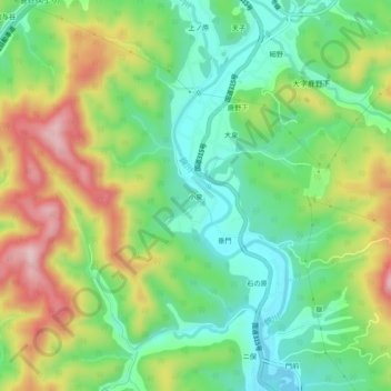
Name: 小泉 topographic map, elevation, terrain.
Location: 小泉, 周南市, 山口県, 日本 (34.17890 131.79105 34.21890 131.83105)
Average elevation: 416 m
Minimum elevation: 314 m
Maximum elevation: 577 m
Other topographic maps
Click on a map to view its topography, its elevation and its terrain.