
若山 topographic map
Interactive map
Click on the map to display elevation.
About this map
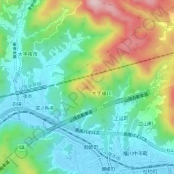
Name: 若山 topographic map, elevation, terrain.
Location: 若山, 周南市, 山口県, 日本 (34.08438 131.72657 34.08448 131.72667)
Average elevation: 85 m
Minimum elevation: -4 m
Maximum elevation: 271 m
Other topographic maps
Click on a map to view its topography, its elevation and its terrain.