
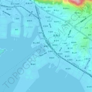
築港町 topographic map
Interactive map
Click on the map to display elevation.
About this map
Name: 築港町 topographic map, elevation, terrain.
Location: 築港町, 周南市, 山口県, 745-0801, 日本 (34.03039 131.78083 34.07039 131.82083)
Average elevation: 15 m
Minimum elevation: -4 m
Maximum elevation: 245 m