
大津島 topographic map
Interactive map
Click on the map to display elevation.
About this map
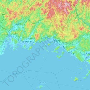
Name: 大津島 topographic map, elevation, terrain.
Location: 大津島, 周南市, 山口県, 日本 (33.70537 131.38698 34.34537 132.02698)
Average elevation: 152 m
Minimum elevation: -5 m
Maximum elevation: 1,035 m
Other topographic maps
Click on a map to view its topography, its elevation and its terrain.