
川上ダム topographic map
Interactive map
Click on the map to display elevation.
About this map
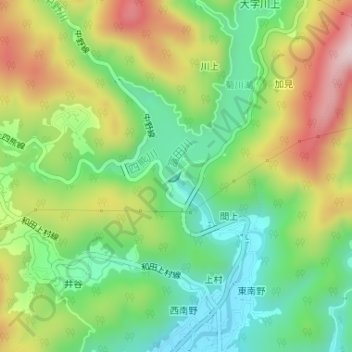
Name: 川上ダム topographic map, elevation, terrain.
Location: 川上ダム, 間上, 周南市, 山口県, 日本 (34.10820 131.78621 34.10902 131.78757)
Average elevation: 171 m
Minimum elevation: 19 m
Maximum elevation: 395 m