
寂地山 topographic map
Interactive map
Click on the map to display elevation.
About this map
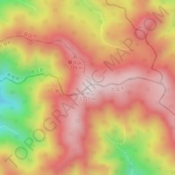
Name: 寂地山 topographic map, elevation, terrain.
Location: 寂地山, 岩国市, 山口県, 日本 (34.46731 132.05435 34.46741 132.05445)
Average elevation: 1,117 m
Minimum elevation: 751 m
Maximum elevation: 1,328 m
寂地山(じゃくちさん)は、山口県岩国市と島根県吉賀町との境界にある標高1,337mの山である。山口県の最高峰である。中国百名山に選定されている。
Other topographic maps
Click on a map to view its topography, its elevation and its terrain.