
御庄川 topographic map
Interactive map
Click on the map to display elevation.
About this map
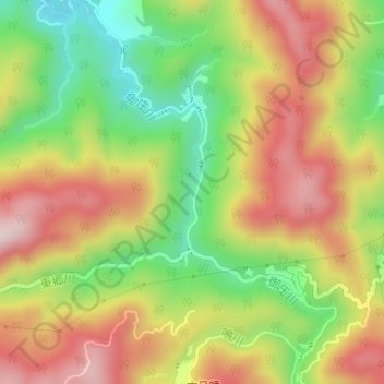
Name: 御庄川 topographic map, elevation, terrain.
Location: 御庄川, 岩国市, 山口県, 740-0041, 日本 (34.11254 132.16232 34.11929 132.16368)
Average elevation: 226 m
Minimum elevation: 35 m
Maximum elevation: 411 m
Other topographic maps
Click on a map to view its topography, its elevation and its terrain.