
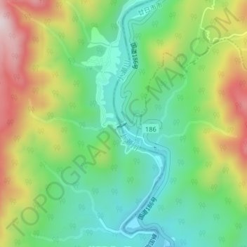
小瀬川ダム topographic map
Interactive map
Click on the map to display elevation.
About this map
Name: 小瀬川ダム topographic map, elevation, terrain.
Location: 小瀬川ダム, 岩国市, 山口県, 日本 (34.30780 132.12293 34.30848 132.12440)
Average elevation: 338 m
Minimum elevation: 158 m
Maximum elevation: 643 m
Other topographic maps
Click on a map to view its topography, its elevation and its terrain.