
生見川ダム topographic map
Interactive map
Click on the map to display elevation.
About this map
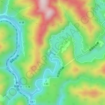
Name: 生見川ダム topographic map, elevation, terrain.
Location: 生見川ダム, 岩国市, 山口県, 日本 (34.20067 132.04417 34.20181 132.04594)
Average elevation: 180 m
Minimum elevation: 25 m
Maximum elevation: 434 m
Other topographic maps
Click on a map to view its topography, its elevation and its terrain.