
羅漢山 topographic map
Interactive map
Click on the map to display elevation.
About this map
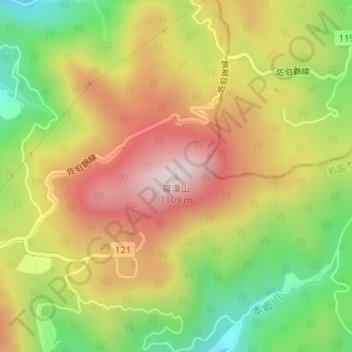
Name: 羅漢山 topographic map, elevation, terrain.
Location: 羅漢山, 岩国市, 山口県, 日本 (34.35548 132.06708 34.35558 132.06718)
Average elevation: 819 m
Minimum elevation: 537 m
Maximum elevation: 1,090 m
Other topographic maps
Click on a map to view its topography, its elevation and its terrain.