
島田川 topographic map
Interactive map
Click on the map to display elevation.
About this map
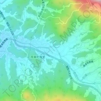
Name: 島田川 topographic map, elevation, terrain.
Location: 島田川, 岩国市, 山口県, 日本 (34.06887 132.11506 34.07098 132.12260)
Average elevation: 119 m
Minimum elevation: 59 m
Maximum elevation: 333 m
Other topographic maps
Click on a map to view its topography, its elevation and its terrain.