
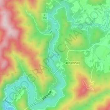
山代湖 topographic map
Interactive map
Click on the map to display elevation.
About this map
Name: 山代湖 topographic map, elevation, terrain.
Location: 山代湖, 柳瀬, 岩国市, 山口県, 日本 (34.19885 132.04418 34.22861 132.06711)
Average elevation: 217 m
Minimum elevation: 41 m
Maximum elevation: 460 m