
赤岩岳 topographic map
Interactive map
Click on the map to display elevation.
About this map
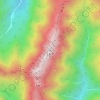
Name: 赤岩岳 topographic map, elevation, terrain.
Location: 赤岩岳, 大町市, 長野県, 日本 (36.34330 137.68400 36.34340 137.68410)
Average elevation: 2,283 m
Minimum elevation: 1,821 m
Maximum elevation: 2,755 m
Other topographic maps
Click on a map to view its topography, its elevation and its terrain.