
岩小屋沢岳 topographic map
Interactive map
Click on the map to display elevation.
About this map
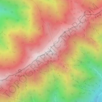
Name: 岩小屋沢岳 topographic map, elevation, terrain.
Location: 岩小屋沢岳, 大町市, 長野県, 日本 (36.57697 137.71334 36.57707 137.71344)
Average elevation: 2,145 m
Minimum elevation: 1,417 m
Maximum elevation: 2,614 m
Other topographic maps
Click on a map to view its topography, its elevation and its terrain.