
南真砂岳 topographic map
Interactive map
Click on the map to display elevation.
About this map
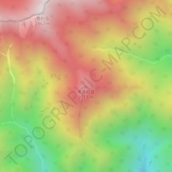
Name: 南真砂岳 topographic map, elevation, terrain.
Location: 南真砂岳, 大町市, 長野県, 日本 (36.41343 137.64168 36.41353 137.64178)
Average elevation: 2,311 m
Minimum elevation: 1,685 m
Maximum elevation: 2,852 m
Other topographic maps
Click on a map to view its topography, its elevation and its terrain.