
中綱湖 topographic map
Interactive map
Click on the map to display elevation.
About this map
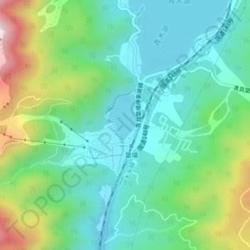
Name: 中綱湖 topographic map, elevation, terrain.
Location: 中綱湖, 大町市, 上水内郡, 長野県, 日本 (36.59363 137.84152 36.60023 137.84532)
Average elevation: 957 m
Minimum elevation: 807 m
Maximum elevation: 1,338 m
Other topographic maps
Click on a map to view its topography, its elevation and its terrain.