
台本川 topographic map
Interactive map
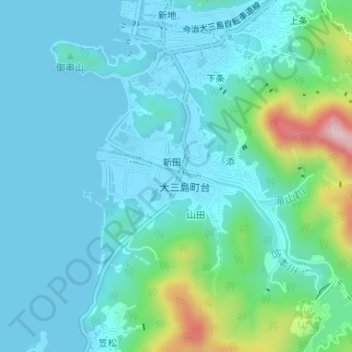
Click on the map to display elevation.
About this map
Name: 台本川 topographic map, elevation, terrain.
Location: 台本川, 今治市, 愛媛県, 794-1402, 日本 (34.23603 132.99289 34.23955 133.00588)
Average elevation: 48 m
Minimum elevation: -1 m
Maximum elevation: 275 m
Other topographic maps
Click on a map to view its topography, its elevation and its terrain.