
三ツ子島 topographic map
Interactive map
Click on the map to display elevation.
About this map
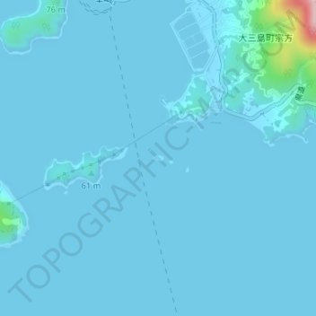
Name: 三ツ子島 topographic map, elevation, terrain.
Location: 三ツ子島, 今治市, 愛媛県, 日本 (34.18982 132.94713 34.19038 132.94825)
Average elevation: 10 m
Minimum elevation: -2 m
Maximum elevation: 276 m
Other topographic maps
Click on a map to view its topography, its elevation and its terrain.