
見近島 topographic map
Interactive map
Click on the map to display elevation.
About this map
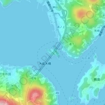
Name: 見近島 topographic map, elevation, terrain.
Location: 見近島, 今治市, 愛媛県, 日本 (34.19318 133.07204 34.19683 133.07726)
Average elevation: 33 m
Minimum elevation: 0 m
Maximum elevation: 237 m
Other topographic maps
Click on a map to view its topography, its elevation and its terrain.