
比岐島 topographic map
Interactive map
Click on the map to display elevation.
About this map
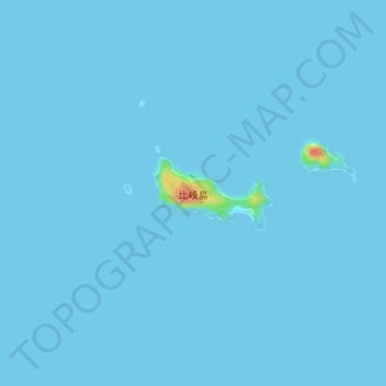
Name: 比岐島 topographic map, elevation, terrain.
Location: 比岐島, 今治市, 愛媛県, 日本 (34.05636 133.09550 34.06152 133.10563)
Average elevation: 1 m
Minimum elevation: 0 m
Maximum elevation: 45 m
Other topographic maps
Click on a map to view its topography, its elevation and its terrain.