
小大下島 topographic map
Interactive map
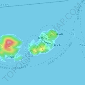
Click on the map to display elevation.
About this map
Name: 小大下島 topographic map, elevation, terrain.
Location: 小大下島, 今治市, 愛媛県, 日本 (34.18552 132.89580 34.19429 132.90817)
Average elevation: 6 m
Minimum elevation: 0 m
Maximum elevation: 137 m
小大下島(こおげしま)は、瀬戸内海のほぼ中央、芸予諸島に位置する有人島。愛媛県今治市に属する。地形図では、「こおおげしま」とふりがなが記載されているが、通常は「こおげしま」又は「こおげじま」と呼ぶ。
Other topographic maps
Click on a map to view its topography, its elevation and its terrain.