
蒼社川 topographic map
Interactive map
Click on the map to display elevation.
About this map
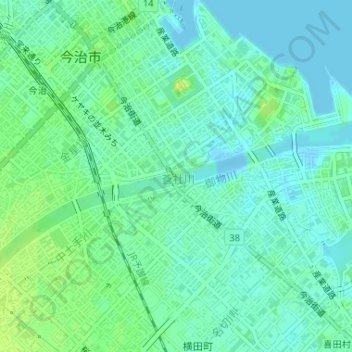
Name: 蒼社川 topographic map, elevation, terrain.
Location: 蒼社川, 今治市, 愛媛県, 794-0069, 日本 (34.05512 132.99977 34.05803 133.01390)
Average elevation: 6 m
Minimum elevation: -11 m
Maximum elevation: 14 m
Other topographic maps
Click on a map to view its topography, its elevation and its terrain.